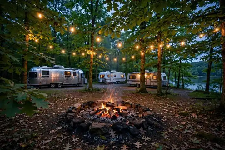
Guide · 2026-11-10
Winterizing Your Camper: The Complete Checklist
How to winterize an RV or travel trailer before the cold — draining, bypassing the water heater, antifreeze, batteries, tires and mice — in the order a shop would do it.
LOZ Camping › Guides › Lake of the Ozarks Mile Markers, Explained
LOZ Camping guide · published 2026-11-10 · written for Lake of the Ozarks campers
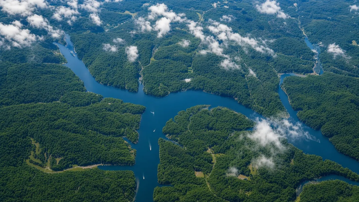
Every address on Lake of the Ozarks is really two addresses: the road you drive in on, and the mile marker you boat to. If a campground says it's at the 34.5 mile marker, here's what that tells you.
Mile markers count distance on the water from Bagnell Dam. The dam is mile 0; the main channel of the Osage River runs roughly 92 miles upstream. Osage Beach, the Grand Glaize Bridge and the lake's busiest dining and entertainment sit in the first 31 miles or so. The higher the number, the quieter the water — by the 60s you're in deep coves and small towns.
Each big arm restarts its own count where it leaves the main channel. The Gravois Arm, the Big Niangua Arm and the Grand Glaize Arm all have their own mile markers — so '5.5 MM Gravois Arm' and '5.5 MM main channel' are completely different places, miles apart by water. Always note the arm.
Boating to restaurants and events: a park's mile marker tells you roughly how long the boat ride is. Parks near the Shootout's Osage Beach waters, for example, cluster at low main-channel markers. Noise and traffic: low markers mean action and boat wakes; high markers and the arms mean calm mornings. Meeting friends: 'we're at the 45' is how lake people give directions on the water — it's the address your GPS can't replace.
Only some parks state a mile marker on their own website — many never bother, since most guests arrive by road. We list a marker only when the park itself publishes it, and keep the full list on our Campgrounds by Mile Marker page, lowest to highest, arms labeled.
The main channel runs about 92 miles from Bagnell Dam, with over 1,150 miles of shoreline counting the arms and coves.
Neither better nor worse — lower markers are closer to Osage Beach dining and events; higher markers and the arms are quieter. Pick by the trip you want.
Many parks simply never publish one. We show a marker only when the park states it on its own site, so the number you see here is the park's own.
How to winterize an RV or travel trailer before the cold — draining, bypassing the water heater, antifreeze, batteries, tires and mice — in the order a shop would do it.
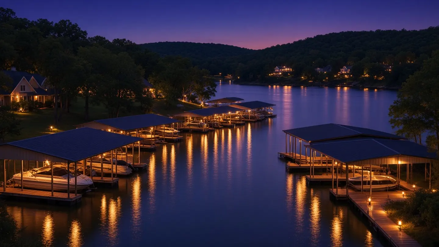
Every public boat launch at Lake of the Ozarks, Missouri — fees, hours, mile markers and parking, checked against the agencies that run them, with the nearest campgrounds for each ramp.
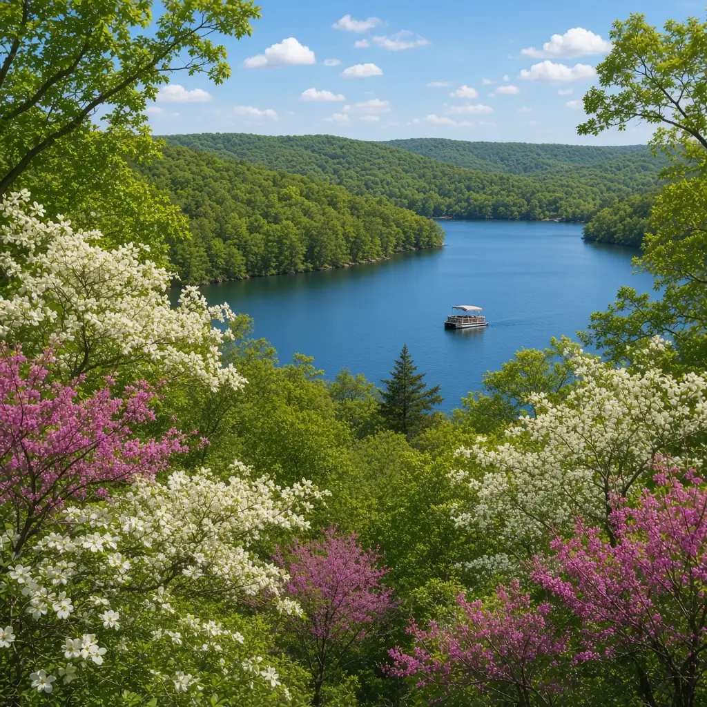
Every designated hiking trail at Lake of the Ozarks, Missouri — Ha Ha Tonka's castle and spring trails, Lake of the Ozarks State Park's 12 land trails and conservation-area hikes — checked against the agencies that run them, with the nearest campgrounds for each trailhead.
Sites:
Hookups:
Amenities:
Rates:
Ready to make a reservation?
Reservations are made on the campground's own website or by phone — LOZ Camping is a directory and doesn't take bookings.
Booking? Please mention you found them on LOZ Camping — that one sentence shows the park this free directory sends them campers, and it is how we get credit for the referral.
Free for every campground and RV park at the Lake. Tell us who you are and what you need — we review every request by hand and reply by email.